
What is a PACT?
The 'Cambridge PACT' is an entirely new approach to carbon credits
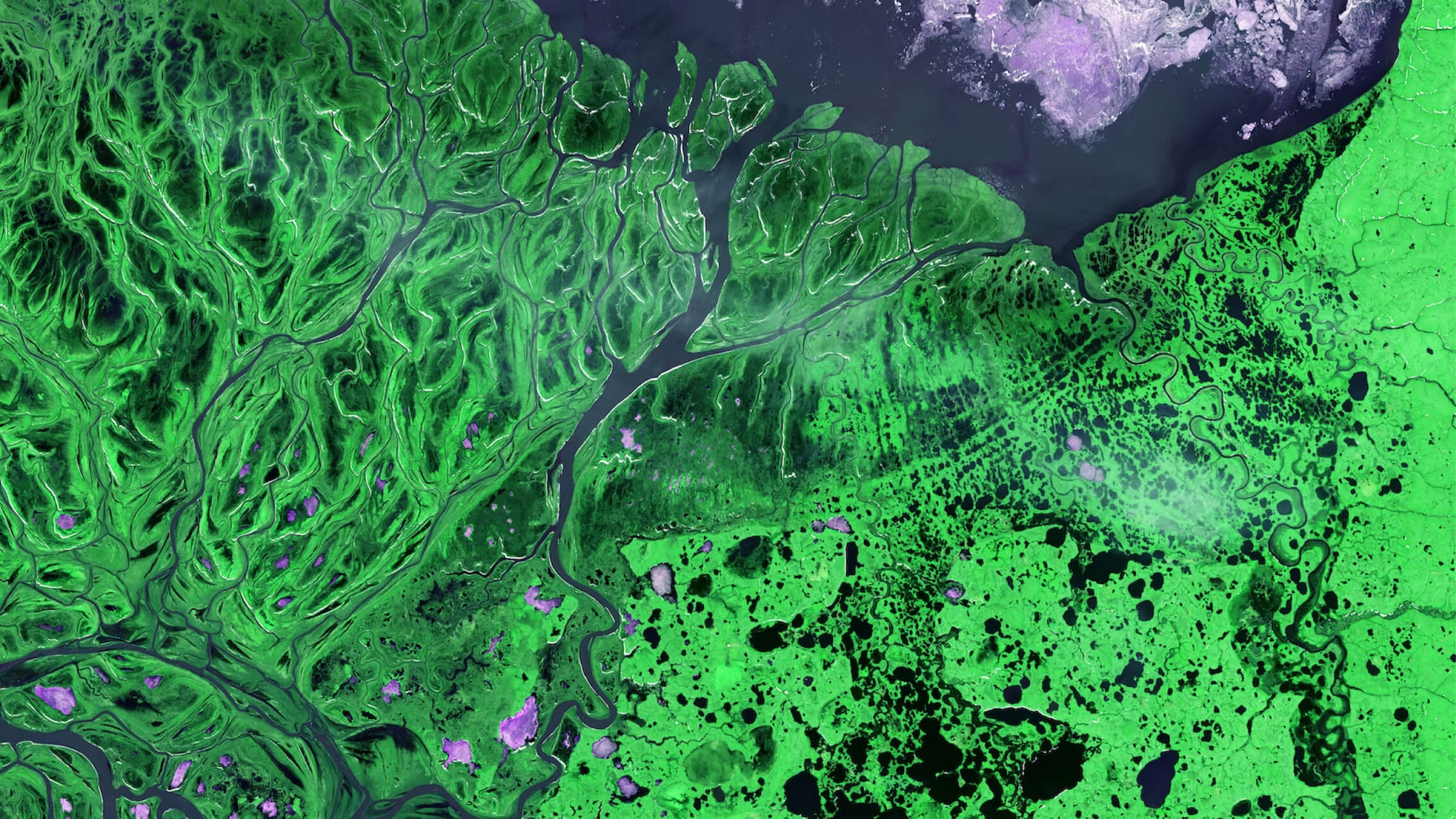
Our new PACTs 'Permanent, Additional, Certified Tonnes' uses remote sensing to create evidence-based carbon credits.

What is PACT?
Permanent
We provide a scientific formula that enables investors to buy an equivalent amount of natural carbon to a geologically stored [permanent] tonne.
Additional
We provide a scientific formula that enables investors to buy an equivalent amount of natural carbon to a geologically stored [permanent] tonne.
Carbon
We provide a scientific formula that enables investors to buy an equivalent amount of natural carbon to a geologically stored [permanent] tonne.
Tonnes
We provide a scientific formula that enables investors to buy an equivalent amount of natural carbon to a geologically stored [permanent] tonne.
find out more about PACTThe climate benefit behind a single PACT is equivalent to a tonne of CO2 emitted into the atmosphere, even if the underlying natural projects are more impermanent.


How PACTs are calculated
Every PACT is associated with an intervention project which aims to avoid or sequester emissions. In the case of avoided tropical deforestation.
(a) a project to replace clear-logged palm oil plantations with mixed-use cocoa plantations that preserve the forest land while remaining profitable.
(b) preventing otherwise profitable clear logging by paying for the opportunity cost via carbon credits
Additionality
The current practice, widely employed by carbon accreditation bodies, is to measure the carbon additionality of a project against a scenario-based assessment of realistic and credible land-uses that would occur in the absence of the project.
Permanence
The current practice, widely employed by carbon accreditation bodies, is to measure the carbon additionality of a project against a scenario-based assessment of realistic and credible land-uses that would occur in the absence of the project.
Leakage
The current practice, widely employed by carbon accreditation bodies, is to measure the carbon additionality of a project against a scenario-based assessment of realistic and credible land-uses that would occur in the absence of the project.
Biodiversity
The current practice, widely employed by carbon accreditation bodies, is to measure the carbon additionality of a project against a scenario-based assessment of realistic and credible land-uses that would occur in the absence of the project.
Livelihoods
The current practice, widely employed by carbon accreditation bodies, is to measure the carbon additionality of a project against a scenario-based assessment of realistic and credible land-uses that would occur in the absence of the project.
Justice
The current practice, widely employed by carbon accreditation bodies, is to measure the carbon additionality of a project against a scenario-based assessment of realistic and credible land-uses that would occur in the absence of the project.
The current practice, widely employed by carbon accreditation bodies, is to measure the carbon additionality of a project against a scenario-based assessment of realistic and credible land-uses that would occur in the absence of the project.

Different type of pacts
Natural PACT
The current practice, widely employed by carbon accreditation bodies, is to measure the carbon additionality of a project against a scenario-based assessment of realistic and credible land-uses that would occur in the absence of the project.
Marine PACT
The current practice, widely employed by carbon accreditation bodies, is to measure the carbon additionality of a project against a scenario-based assessment of realistic and credible land-uses that would occur in the absence of the project.
Coastal Restoration PACT
The current practice, widely employed by carbon accreditation bodies, is to measure the carbon additionality of a project against a scenario-based assessment of realistic and credible land-uses that would occur in the absence of the project.
Air quality PACT
The current practice, widely employed by carbon accreditation bodies, is to measure the carbon additionality of a project against a scenario-based assessment of realistic and credible land-uses that would occur in the absence of the project.
Regenerative Farming PACT
The current practice, widely employed by carbon accreditation bodies, is to measure the carbon additionality of a project against a scenario-based assessment of realistic and credible land-uses that would occur in the absence of the project.
Life Stock Farming PACT
The current practice, widely employed by carbon accreditation bodies, is to measure the carbon additionality of a project against a scenario-based assessment of realistic and credible land-uses that would occur in the absence of the project.
Interested in the next generation of Carbon Credits?